Introduction
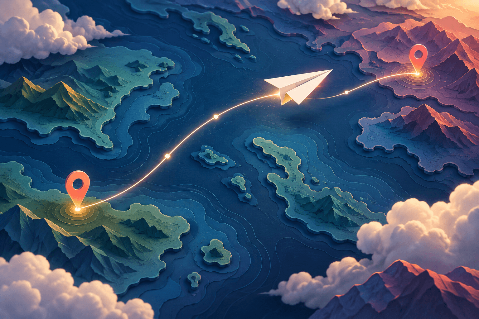
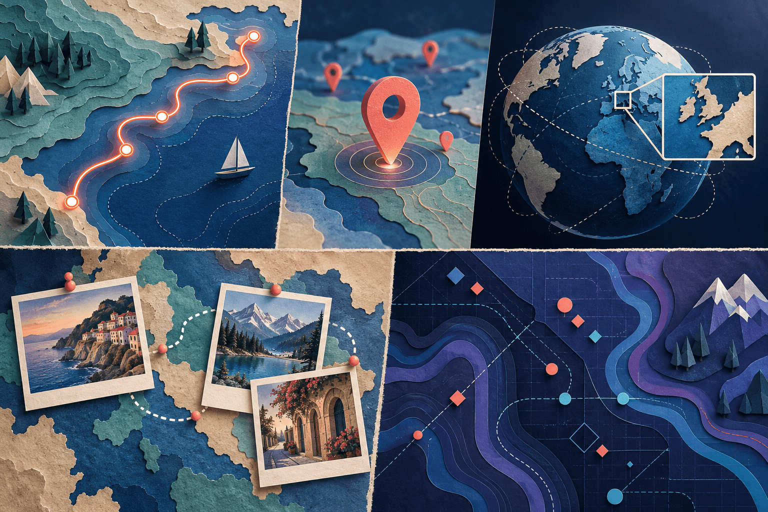
You can create map animation without After Effects by using a dedicated map maker, animating a presentation, building a camera move in Google Earth Studio, using an AI-assisted map editor, or coding a custom animation. The right method depends on what needs to move: the route, a marker, the camera, or the information on the map.
Start with the finished scene, not a long software comparison. A plane crossing an ocean needs a different workflow from a photo story that pauses in several cities. A classroom explanation may need only a moving dot and three readable labels.
For a location story with photos or clips, explore AlbumMap's map-video workflow. For other kinds of animation, use the decision guide below.
Choose your method by the job
| Your main goal | A useful starting point | What you will still need to check |
|---|---|---|
| Connect locations with personal footage | A dedicated map-video maker | Stop order, camera framing, and media timing |
| Explain a short route during a presentation | PowerPoint | Manual placement and export timing |
| Approach a place from a high-altitude view | Google Earth Studio | Imagery permissions, camera movement, and rendering |
| Draft a map sequence from written instructions | An AI-assisted map editor | Place names, coordinates, dates, and geography |
| Build a custom interactive or data-driven scene | A mapping library and code | Data, rendering, licensing, and development work |
These are workflow recommendations, not a ranking of tools by price or quality. A simpler approach can be the better choice when the audience needs only one clear point.
1. Use a dedicated map-video maker
Choose this approach when the map connects the parts of your story rather than acting as a complex data visualization. Prepare a short list of stops, then decide what viewers should see at each one.
AlbumMap combines locations, media, and map animation. Another route-focused example, anim8map, describes a workflow built around an itinerary, travel modes, and optional photos. These products illustrate the route-first approach; their controls and supported inputs are not interchangeable.
Try a three-stop practice project. At the first stop, show the overall journey. At the second, add a photograph that gives the place meaning. At the third, show a short clip and end with the complete route visible.
Before adjusting effects, check whether the order makes sense without narration. Remove a stop that adds distance but no useful information. Then tune pauses so viewers have time to recognize the location and look at the image.
This is also where you should decide whether a connecting line is merely illustrative. A line between two pins should not be presented as a recorded driving route unless the underlying data supports that claim.
2. Animate a map in PowerPoint
For a simple explanation, a static map with a moving marker may be enough. Microsoft documents motion-path effects for moving an object along a defined path. Its video-export guide explains how to turn a presentation into a video file.
Use a map image you have permission to publish. Add a marker, draw its movement, and introduce a short label at each important stop. Keep the map fixed for your first version; a moving background and moving marker are harder to coordinate.
A useful practice scene is a fictional delivery explanation with a depot, a transfer point, and a destination. Label the route as illustrative. The goal is to explain the sequence, not to simulate a navigation system.
PowerPoint is a reasonable choice when you already work in slides and need limited motion. It is less convenient for a long, detailed route with many turns. Our PowerPoint map-animation tutorial walks through a small project.
3. Build a geographic camera move in Google Earth Studio
Google Earth Studio is built around animating geographic imagery. Its Quick Start projects include preset camera moves that remain editable.
This approach suits an establishing shot: begin wide enough to explain the setting, approach the destination, and settle before the next scene. Plan the final view first. A dramatic opening is not useful when the viewer cannot recognize where it ends.
A restrained zoom can also connect two scales of a story. Start with a regional overview, arrive at a neighbourhood, then cut to your own ground-level footage. Do not assume that every location has equally detailed imagery.
Check Google's permitted-use rules before choosing this workflow for promotional work. See the Google Earth zoom guide for the workflow and the important licensing distinction.
4. Use an AI-assisted map editor to draft the sequence
Animaps describes prompt-based map creation alongside manual editing. Treat this kind of tool as a way to propose a sequence, not as an authority on geography.
A useful prompt describes the place, the camera, the order, and the intended output. For example:
Create a short landscape map sequence. Begin with a regional overview, reveal three supplied locations in order, and pause on each label. Keep north at the top and end with every location visible. Use only the coordinates I provide.
Replace vague instructions such as “make it cinematic” with visible decisions. Should the camera move between every stop? Should previous labels remain? Does the final frame need room for a title?
After generation, compare every location with your source list. Check repeated place names, unexpectedly changed routes, invented labels, and timing that leaves no space to read. For historical or statistical maps, verify the underlying dataset separately.
5. Build a custom animation with a mapping library
Code becomes useful when you need repeatable behaviour or data integration that a general editor does not expose. Mapbox's official example demonstrates animating a point along a route.
A custom project might use an approved set of coordinates, advance a marker along them, update a label, and move the camera only when the marker approaches the edge of the view. That is a development brief, not a feature you should assume exists in every map-video product.
Separate two deliverables at the start: an interactive map for a website and a rendered video. Building the first does not automatically solve the second. A video workflow also needs controlled timing, consistent frames, an export process, and the necessary rights for the map and data.
Choose code because a requirement needs it, not because it sounds more professional.
Test a small scene before building the whole video
Make a short proof of concept with one movement, two labels, and one destination. Watch it at the size your audience will actually see. Ask a person unfamiliar with the project to explain what happened.
When something is unclear, first simplify the scene. Reduce the number of labels, pause the camera, or split one complicated shot into two. A higher export resolution will not fix a confusing story.
Once the test works, save the visual rules: label size, route treatment, pause length, and final framing. Reuse those decisions across the rest of the project.
Turn your location list into a first draft
Write down three places and one thing to show at each. That is enough to test whether your story needs a moving map or just a strong static overview. For a media-led journey, create a map video in AlbumMap.
Helpful answers
Frequently asked questions
Which method is easiest for a beginner?
For a short route with photos, start with a dedicated map maker. For a single moving object in a presentation, a slide-based approach may be sufficient. The easier choice is the one that needs the fewest workarounds for your scene.
Can I make an animated map without coding?
Yes. The first four approaches above use visual controls or prompts rather than requiring you to build the animation in code. Their input formats, export options, and permitted uses still need checking.
Do I need 3D animation?
Not for every project. A flat map can be clearer when the audience needs to compare locations or follow labels. Use a tilted or globe view when the change in viewpoint adds useful context. See 2D versus 3D map animation.
Will AI create an accurate map automatically?
Do not assume so. Review place names, coordinates, routes, borders, dates, and any data labels against reliable sources before publishing.