Introduction
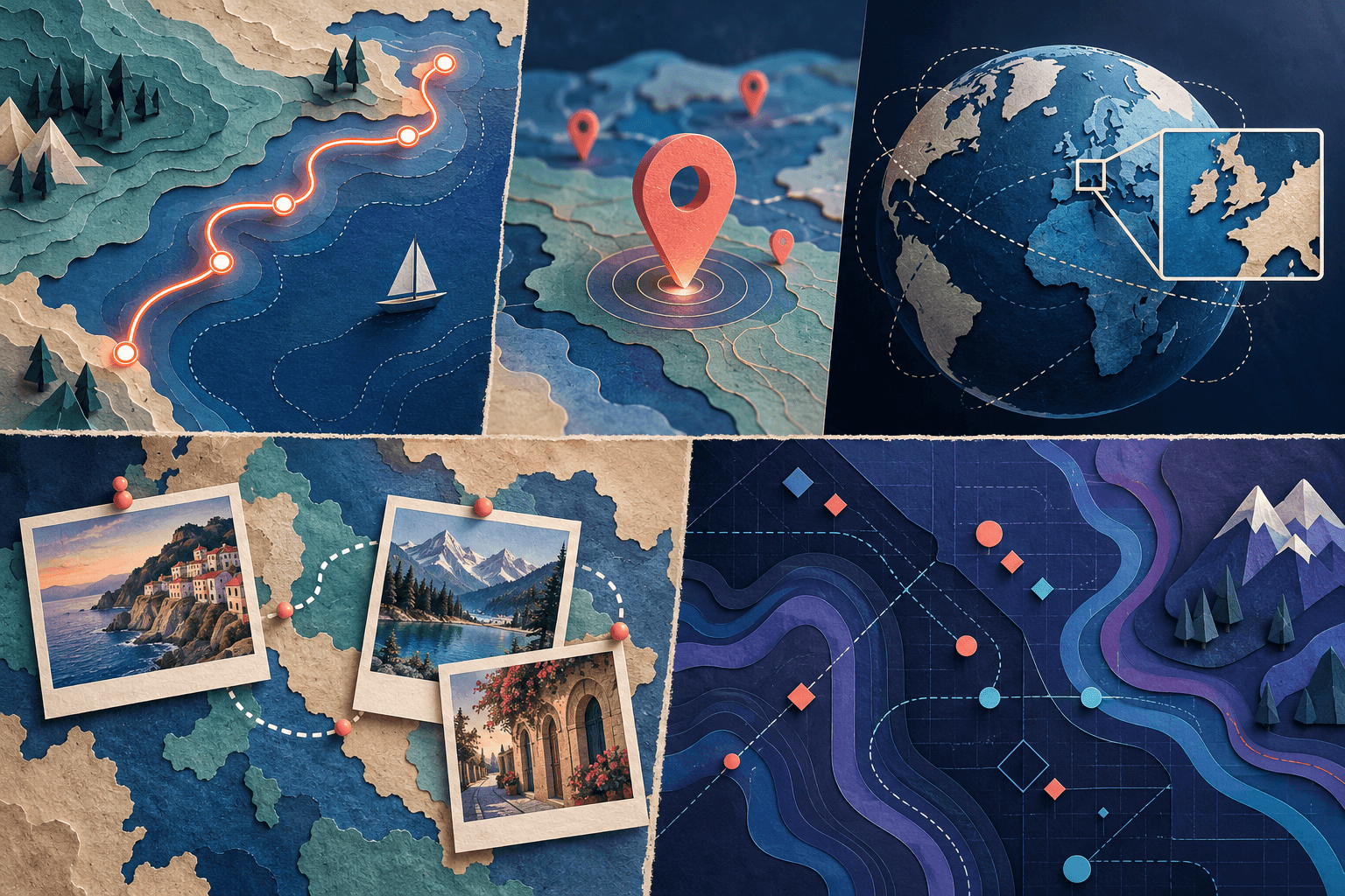
A flight path animation shows a journey between departure points, connections, and destinations. A clear version introduces the endpoints, reveals each leg in order, and gives the viewer time to understand where the plane has arrived.
The route's meaning matters as much as its appearance. An attractive curve between airports is not proof of the path a real aircraft flew. Decide at the start whether your video is an illustrative itinerary or a replay based on an actual recorded track.
For a broader story that combines destinations with photos or clips, explore AlbumMap's map-video workflow. For a dedicated moving-plane scene, select a tool that explicitly supports the flight-route controls you need.
Choose what your flight path animation represents
There are three useful levels of detail.
An illustrative connection simply joins the relevant places. Use it to explain a trip, introduce a destination, or reveal an itinerary. Add “Illustrative route” when the line could be mistaken for a precise path.
A great-circle route uses a geometric connection on a spherical Earth model. It is not a record of a particular flight. Mapimator's flight-path workflow describes geodesic route animation; MapAnim also advertises airport-based flight-map creation. Verify the exact controls and output before choosing a product.
A recorded track uses actual path data. Use that description only when your source supports it. Keep the track's date and provenance with the project, and avoid silently replacing gaps with invented precision.
For most personal travel recaps, an honestly labelled illustrative route is sufficient. More technical-looking lines do not automatically make a story more accurate.
Build a small route sheet
Before opening an editor, write the itinerary in a table. Keep this planning sheet separate from the public video.
| Field | What to record |
|---|---|
| Departure | The intended airport or city, with a checked map position |
| Connection | Any stop that matters to the story |
| Arrival | The final airport or city |
| Label | A short public-facing name |
| Meaning | Illustrative connection, geometric route, or recorded track |
| Media | The photo or clip associated with the destination |
Choose airport locations when the flight itself is the subject. Choose city-level markers when you are explaining the wider travel story, but do not label a city-centre pin as an airport.
Check ambiguous place names and airport codes rather than trusting the first search result in an editor. Also confirm that the order reflects the trip you are presenting. An outbound journey and the return journey may deserve separate sequences.
Reveal one leg at a time
Begin with a frame that includes the first departure and arrival points. Display their labels before the plane starts moving. The audience should not have to chase an icon across the screen to discover the destination.
Animate the first leg, pause at the connection, then introduce the next movement. Keep the previous route visible only when it helps. In a dense itinerary, fading an earlier leg may be clearer than leaving every line at full emphasis.
A moving plane, an expanding line, and a travelling camera all demand attention. For your first version, make one of these the dominant movement. Keep the camera still while the plane moves, or keep the plane's screen position stable while the camera follows it. Test which approach makes the route easier to understand.
Make the aircraft symbol behave consistently
Use a small, high-contrast symbol that does not cover labels. It should indicate progress, not become the whole composition.
When the tool offers direction controls, check whether the symbol follows the route smoothly. Sudden flips, sideways movement, or abrupt rotations can distract from an otherwise clear map. For a stylized infographic, a simple dot may be a better choice than an aircraft graphic that cannot be oriented cleanly.
Decide what happens at arrival. Does the plane stop beside a marker, fade out, or become part of the destination card? Pick one rule and reuse it across all legs.
Do not add altitude, speed, flight duration, or distance counters unless you have a reliable basis for the displayed values. A decorative number still looks like a factual claim.
Use a short storyboard for a multi-leg trip
Here is an original structure for a fictional two-leg itinerary. The times are editing suggestions, not actual travel times.
| Time | Map action | Supporting content |
|---|---|---|
| 0–2 seconds | Show departure and connection | A short trip title |
| 2–6 seconds | Reveal the first leg | Keep both endpoints readable |
| 6–8 seconds | Pause at the connection | One brief note, such as “Connection” |
| 8–12 seconds | Reveal the second leg | Introduce the destination name |
| 12–16 seconds | Hold the destination | Show an arrival photo or clip |
| 16–18 seconds | Return to a useful overview | Display the completed itinerary |
For a single flight, remove the connection section. Do not preserve an empty pause just because it appears in the template.
The arrival media should add something the map cannot: a view from the destination, the first scene of the trip, or a reason the location matters.
Solve framing problems before export
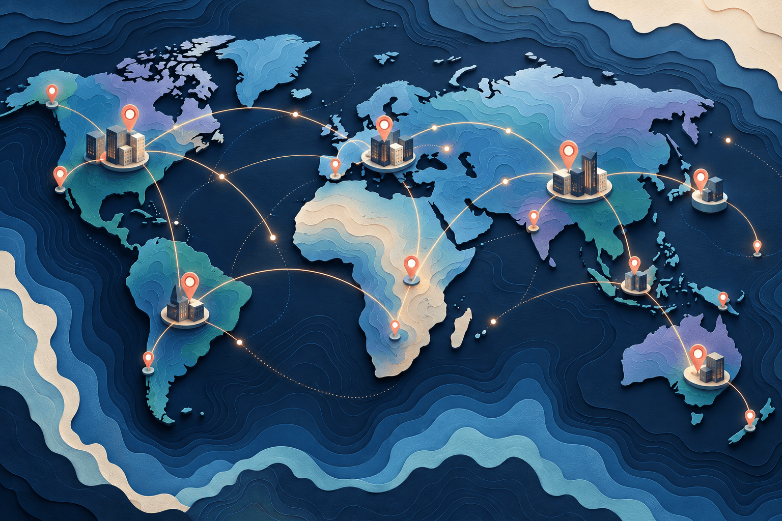
For a route that spans a wide area, compare a flat overview with a globe view. Pick the version that keeps both endpoints understandable. A dramatic camera tilt is not helpful when one airport disappears behind the globe.
For vertical video, a wide route may become too small when squeezed into one frame. Consider splitting the sequence into an overview and two closer scenes rather than forcing every label into the same view.
Check the beginning, middle, and end of every leg. A line that looks correct in the opening frame may leave the visible area after the camera moves. Also inspect routes near the edge of a wrapped world map; a discontinuity can make the plane appear to jump.
Use the map as a chapter, not a substitute for the trip
A flight scene works well as an introduction or transition. Once the viewer understands the route, move on to the part of the story that made the journey worth showing.
For a longer recap, use one short map scene before each major chapter. Keep the route styling consistent and vary the accompanying footage. Our travel-video guide explains how locations and media can work together.
Give the destination a reason to matter
Start with checked endpoints and an honest description of the route. Then build a short sequence that ends with something meaningful at the destination. To connect those places with your own media, create a map story in AlbumMap.
Helpful answers
Frequently asked questions
Is the curved line the actual flight path?
Not necessarily. A decorative or geometric connection only describes how the animation joins its endpoints. Call it an actual track only when it is based on an appropriate record of that flight.
Should I use city names or airport codes?
Use the version your audience will understand. A general travel recap often benefits from readable city names. An aviation-focused video may need airport names or verified codes. Keep the pin position consistent with the label.
Can I make a flight map without a plane icon?
Yes. A route reveal, moving dot, or sequence of highlighted endpoints can communicate the journey. Choose the simplest treatment that matches the rest of the video.
Can AlbumMap replace a dedicated flight-tracking tool?
Use AlbumMap for a location-and-media story, not as a source of live aviation data or proof of an aircraft's track. Choose a dedicated workflow when exact flight-data processing is essential.