Introduction
A Route 66 road trip itinerary can feel hard to plan because so many places seem vital. This guide cuts the trip down to ten varied stops in westbound order. The list includes cities, museums, roadside art, a historic bridge, and park scenery. It is a planning guide, not a set of driving directions. Use it to pick your main stops. Then check routes, access, hours, weather, and road reports with official sources before you leave.
How to use this Route 66 road trip itinerary
First, decide how many full travel days you have. The ten stops are anchors, not ten equal driving days. Some may take less than an hour. Others may need several hours or an overnight stay. The times in the table cover the visit only. They do not include driving, parking, meals, lines, or side trips.
Historic Route 66 is no longer one unbroken official road. It was removed from the U. S. Highway System in 1985. Parts of the old route now link with local roads and modern highways. A Route 66 map can help you compare old paths with useful road links. Check state road sources and local visitor sites for current details.
A full trip often takes about two weeks. A slower trip may take two to three weeks. Add rest time if you want to tour museums, see neon after dark, take longer walks, or stop at places you find along the way. Do not force every stop into a set pace.
Last verified: 2026-08-09. Hours, access, park alerts, road conditions, and visitor rules can change. Check official attraction pages, National Park Service alerts, road notices, and weather reports shortly before travel.
Ten essential Route 66 stops in order
The table below follows the westbound order in AlbumMap's video. It is a short overview, not a full list of Route 66 stops. The road passes through eight states, but ten stops cannot cover each town, road path, or historic site.
Each row gives a visit time and one photo idea. The timestamp links the stop to the matching part of the 2-minute, 20-second AlbumMap video. Add more time at the places that matter most to you.
Chicago, Pontiac, and the Mississippi crossing
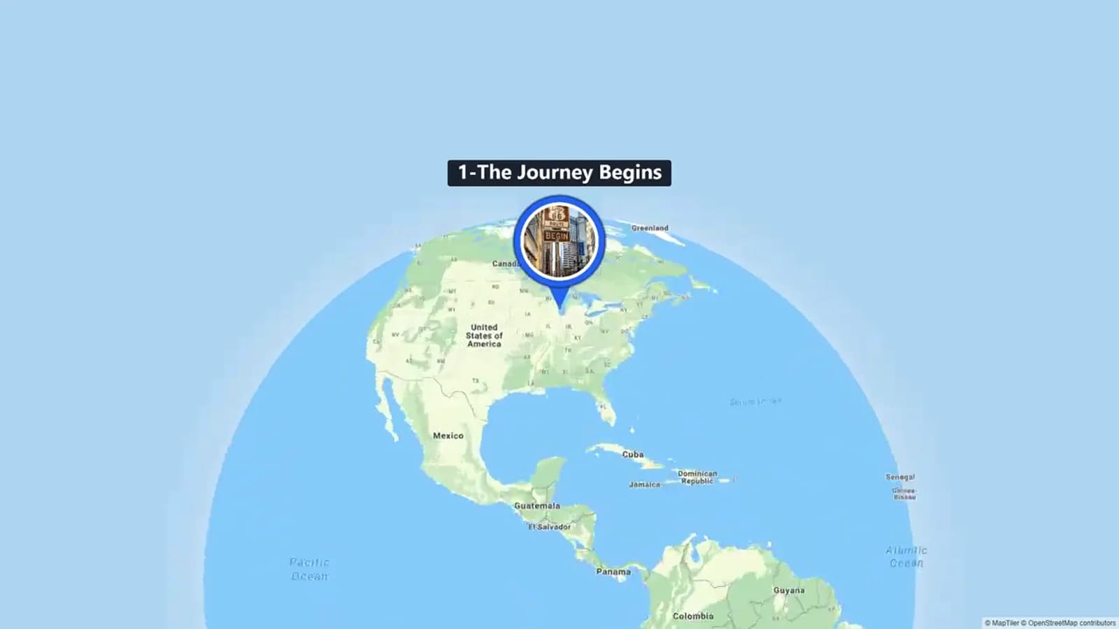
Chicago gives the trip a clear city start. Use your first hours to settle in, check the car, and take a simple opening photo. Route 66 start signs and memorial sites have changed over time. Pick the Chicago marker that fits your trip before the day starts.
Pontiac adds history early in the trip. The Route 66 Hall of Fame and Museum shares the story of the road in Illinois. Murals in the town center also offer easy outdoor photo spots. The official Pontiac visitor site listed hours that change by season when it was checked. Check those hours again before you go.
The Old Chain of Rocks Bridge changes the view. Its bend and river setting mark the move from Illinois toward Missouri. It is now a place for walking and cycling, not a normal road crossing for cars. Check current access and parking before your visit.
These first three stops create a simple pattern: city, history, and river crossing. Use the same pattern for your photos. Take one wide view, one close detail, and one image that shows how the land has changed.
Roadside America and Route 66 history in Oklahoma
The Blue Whale of Catoosa is the playful roadside stop in this plan. A short visit may be enough for a walk and a few photos. Add time if you want to read local signs or wait for a clear group shot.
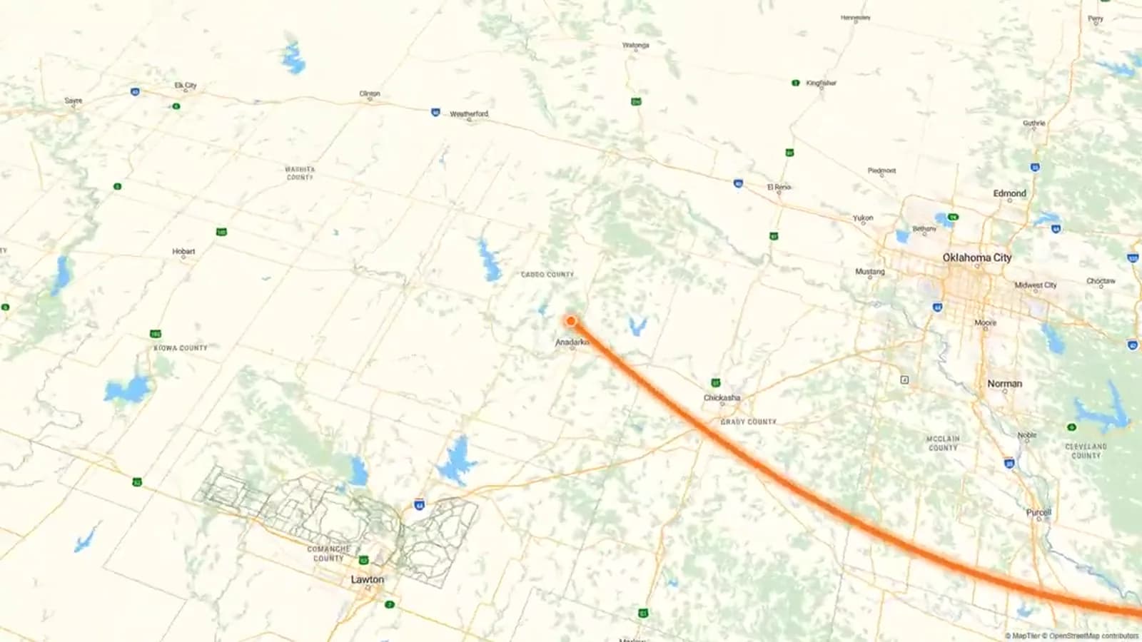
Farther west, the Oklahoma Route 66 Museum in Clinton gives the trip a deeper history stop. When checked on 2026-08-09, the Oklahoma Historical Society listed hours from Monday through Saturday. Schedules can change, so check the museum's own page before setting your date.
The two sites show different sides of the road. The whale stands for the fun, handmade sights that drew people off the highway. The museum tells a wider story through saved objects and exhibits.
For a useful trip record, take one fun group photo in Catoosa. At the museum, take photos only where the rules allow. Write one short note about something you learned. That note will help more later than a folder full of photos with no names.
Cadillac Ranch, Santa Fe, and Albuquerque
Cadillac Ranch brings large outdoor art into the Texas Panhandle. A wide photo can show the cars against the open land. The site may be muddy, hot, windy, or busy. Check the weather and follow the current visitor rules.
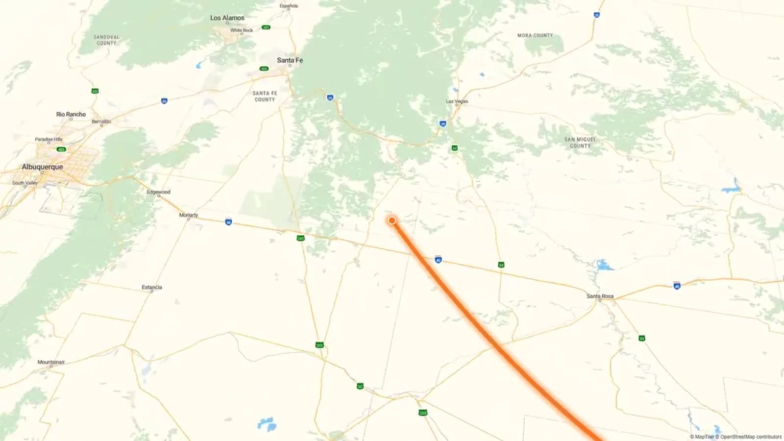
Santa Fe needs a clear note. It was part of an earlier Route 66 path in New Mexico. The National Park Service says the road first went north through Santa Fe. A 1937 change then made a more direct east-west path. Add Santa Fe if that older story matters to you. Do not treat it as part of every later version of the road.
Albuquerque brings the plan back to the later east-west path. Central Avenue has a Route 66 setting with old buildings and neon signs. If you want photos after dark, stay overnight instead of rushing through after a long drive.
The three stops show a strong change in place: open Texas land, Santa Fe's older route story, and the city lights of Albuquerque. Add the place and date to your files while the memory is still clear.
Petrified Forest and the symbolic finish in Santa Monica
Petrified Forest National Park is the largest nature stop on this list. The National Park Service says it is the only national park in its system with a part of Historic Route 66. Old road marks and phone poles tie the park views to the highway's past.
Plan at least two hours for a short visit. Add more time for views, walks, exhibits, and changes in the light. Check the park website for hours, alerts, weather, and road status. Do not squeeze a park visit between two long drives.
Santa Monica ends this Chicago to Santa Monica itinerary at the Pacific. The End of the Trail sign on the pier is a common symbolic finish. The historic official end is tied to Lincoln and Olympic Boulevards. The pier should not be called the only historic endpoint.
Give the finish some time. Park the car, walk to the pier, take a final photo, and write one line about the trip. That small pause can make the end feel like more than one last box to check.
Turn ten locations into a clear travel story
Before the trip, make one folder for each stop. Use names such as “01 Chicago” and “02 Pontiac.” This keeps the right order when files from several phones are mixed. Ask each traveler to add a few strong photos, short clips, and one note after each day.
Keep the photo plan simple. Try to save one wide scene, one close detail, one photo with a person, and one short moving clip at each main stop. You do not need all four if the site is busy or has access limits. The goal is a varied record, not a film shoot.
If several people travel together, AlbumMap can collect their photos, clips, messages, and locations in one shared project. The finished map video can follow the westbound route instead of placing every file in a plain slideshow. This step is optional. Shared folders also work for the travel plan.
Use clear captions. Say what took place, where it happened, and why it mattered. “We stopped here” gives little detail. “We reached Pontiac before lunch, found the mural, and heard Dad's first road story” gives the photo a place in the full trip.
Practical checks before you leave
Book places to stay and any major timed visits first. Then check park alerts, museum hours, bridge access, local events, parking, fuel, charging needs, and weather. Check again the night before any remote stop or visit with a fixed time.
Save maps and booking details for offline use. Old road paths can differ, and phone service may be weak in some areas. Use current navigation for live driving choices. This article cannot replace road signs, official alerts, or driving tools.
Leave some free time in the plan. Route 66 has small museums, old signs, diners, murals, and shops that may not fit a ten-stop list. A spare hour may lead to one of the best parts of the trip.
Share the plan with everyone in the car. Mark each stop as vital, optional, or tied to the weather. When the group knows the main goals, it is easier to change the plan without feeling that the trip went wrong.
Copy-ready notes for your group
Group photo request: “Please add your best three photos, one short video, and one sentence from today's stop. Put the place and date in the filename. Pick moments that show how the place felt, not just posed photos.”
Stop caption: “Pontiac, Illinois — We came for Route 66 history and stayed for the downtown murals. This was the first stop where the size of the westbound trip began to feel real.”
Daily plan: “Tomorrow's main stop is Petrified Forest National Park. We will check the park alert page tonight, allow more time for views, and treat later roadside stops as optional.”
Ten-stop Route 66 planning table
These suggested times are on-site planning ranges, not driving estimates. Confirm current access, hours, weather, and road conditions before visiting.
| Stop | State | Trip segment | Suggested time | Photo idea | Video timestamp |
|---|---|---|---|---|---|
| 1. Chicago | Illinois | Journey start | Half day to 1 day | Opening portrait with a recognizable Chicago setting | 00:06 |
| 2. Pontiac | Illinois | Northern Illinois | 1–2 hours | Route 66 mural or museum exterior with one close detail | 00:19 |
| 3. Old Chain of Rocks Bridge | Missouri–Illinois | Mississippi River crossing | 45–90 minutes | Wide view that shows the bridge's distinctive bend | 00:32 |
| 4. Blue Whale of Catoosa | Oklahoma | Northeast Oklahoma | 20–45 minutes | Playful wide shot with the full whale and pond setting | 00:45 |
| 5. Oklahoma Route 66 Museum | Oklahoma | Western Oklahoma at Clinton | 60–90 minutes | Museum exterior, sign, or permitted exhibit detail | 00:58 |
| 6. Cadillac Ranch | Texas | Texas Panhandle near Amarillo | 30–60 minutes | Low, wide view of the cars against the plains and sky | 01:11 |
| 7. Santa Fe | New Mexico | Pre-1937 alignment | Half day to 1 day | Historic streetscape that distinguishes the earlier alignment | 01:24 |
| 8. Albuquerque | New Mexico | Central New Mexico | Half day or overnight | Central Avenue neon or a dusk streetscape | 01:37 |
| 9. Petrified Forest National Park | Arizona | Eastern Arizona | 2–4 hours | Painted Desert landscape with Route 66 traces or markers | 01:50 |
| 10. Santa Monica | California | Symbolic Pacific finish | 1–2 hours | End of the Trail sign with the pier and ocean context | 02:03 |
Examples You Can Copy
Copy-ready group photo request
Please add your best three photos, one short video, and one sentence from today's stop. Include the location and date in the filename. Choose moments that show what the place felt like, not only posed pictures.
Copy-ready stop caption
Pontiac, Illinois — We came for Route 66 history and stayed for the downtown murals. This was the first stop where the scale of the westbound journey began to feel real.
Copy-ready daily planning note
Tomorrow's priority is Petrified Forest National Park. We will check the park alert page tonight, allow extra time for overlooks, and treat later roadside stops as optional.
Final Thoughts
Ten stops give the trip a clear shape without trying to cover every old road path or roadside sight. Choose the places that fit your interests. Leave time for changes and check key details close to departure. Save a few clear photos, short clips, and honest notes at each stop. They will help you recall both where the road went and how the trip felt.
Helpful answers
Frequently asked questions
How many days should I allow for a full Route 66 trip?
About two weeks is a useful starting point. Two to three weeks gives you more time for museums, walks, meals, rest, and stops you find on the road. Add more time if you want to visit Santa Fe on the earlier route or take other side trips.
Can you still drive all of Route 66 as one continuous road?
No. Route 66 was removed from the U.S. Highway System in 1985. Many old sections can still be used, but drivers must also take local roads and modern highways. Use current maps, official road reports, and live navigation.
Why is Santa Fe included if Route 66 later bypassed it?
Santa Fe was part of the first route through New Mexico. In 1937, the road moved to a more direct east-west path through Albuquerque. Santa Fe stands for the earlier path, not every version of the highway.
Does Route 66 officially end at Santa Monica Pier?
The End of the Trail sign on the pier is a well-known symbolic finish. Santa Monica's official visitor source links the historic official end to Lincoln and Olympic Boulevards. Keep that difference clear when you describe the finish.
Do I need to visit all ten stops?
No. Use the stops as anchors. Pick them based on your time, interests, access needs, weather, and current conditions. A shorter trip in one region can still offer a rich Route 66 visit.
What should I save from each stop for a trip video?
Save one wide photo, one detail, one short clip, and a brief note about what happened. Add the place and date. If several people take part, one shared AlbumMap project can keep the files and map points together.