Introduction
A historical photo map turns old images into a record that people can check and explore. Each pin should show where the photo came from, its likely date, its place, its rights note, and the facts behind the match. This matters for family albums, local history, and any old photos map shared with others. A strong record keeps a striking image tied to the details that give it meaning.
What the video shows
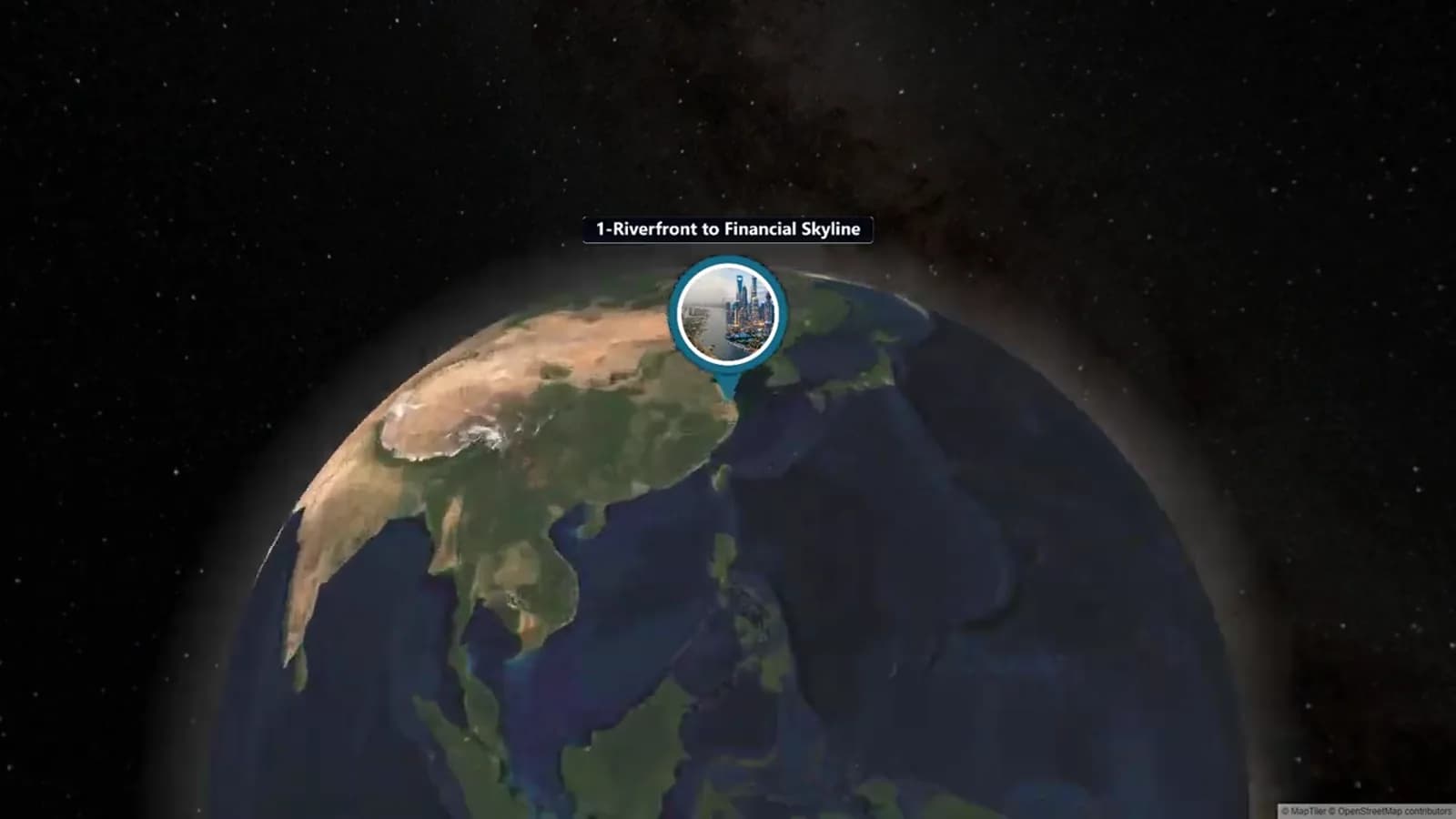
The AlbumMap video visits ten named places that changed over time. Its short stops show a simple idea: people can follow a story when each image has a clear place. A visual match alone does not prove a place or date.
The route includes waterfronts, a riverfront, transport areas, skylines, squares, and landmarks. Your map can use the same stop-by-stop flow. It should also show the work a short video cannot: the archive source, rights state, date clues, camera direction, full citation, and level of trust.
Start with one map question
Pick a small route or theme. Try “three corners from Grandmother’s walk to school” or “the station area before new work began.” A small question saves time and gives each pin a job.
Make one folder for scans, notes, and links. Give every image a simple ID, such as HPM-01. Do not name a file only by a guessed street. Your first idea may change.
Write down what you know for each photo. Note people, an event, a town, a maker, a caption, an album page, a stamp, or a family memory. Keep facts and leads apart. Words on the back of a print and a story from Aunt May can both help, but they are not the same kind of proof.
Find the source and record rights
Search local libraries, city archives, news files, museums, school collections, and family albums. Save a lasting catalogue link when you find one. An archive may hold a scan but not own the copyright. An old photo is not always free to use.
Read the item page and its terms. Copy the rights text, credit line, limits, licence link, and contact name into your log. If the state is unclear, write “needs permission review.” Do not guess. The U. S. National Archives says users must obtain needed clearances.
Keep copyright, permission to publish, privacy, and cultural care in separate notes. A photo may pass one test and still need care. It may show a private home, a living person, or a hard event. This guide gives research tips, not legal advice.
Pin the place with image clues
Start wide, then narrow your search. Look for a town, landmark, tram line, shop sign, church tower, bridge shape, shore, hill, road width, or building number. Old maps, city lists, news pages, and dated cards can test each clue.
Use a modern map or street view to check lasting features. Compare gaps between buildings, window shapes, road bends, tracks, or a feature behind the subject. A landmark can move, be rebuilt, or be hidden. Write down what makes the match work.
Record a point, an address or close crossing, and a trust level. “Exact: northeast corner, camera facing southwest” is better than “downtown.” If you only know the area, pin the area and say so. Do not claim more than the proof allows.
Geotag historical photos only after you write the evidence trail. Coordinates are the result of the work. They are not proof by themselves. Keep a source link or note for every key claim.
Date the image and note the camera view
Use a date range when you need one. A shop that opened in 1912 and a streetlight set up in 1918 may place a photo in 1912–1917. They do not prove one exact day. Say “circa 1912–1917” and list the clues.
Visit the likely spot only if it is safe and open to the public. Note the view direction, height, foreground, and whether the photo may be flipped or cropped. Take a new reference photo only where it is allowed. Never enter private land for a match.
Add a short trust note. Use high when several separate clues agree. Use medium when the area is likely but the camera spot is rough. Use low when the place is still a good lead. Clear doubt makes the record more useful.
Build a historical photo map, not a loose pin board
Put stops in an order that helps the reader. You may follow a walk, tram line, family move, river, or rebuild period. For each pin, answer five things: what is shown, when, where, how you know, and why the stop matters.
Use one short line for the past and one for the link to the next stop. This creates a story without forcing a big claim. Put citations in the pin text or link to the register so readers can check your work.
If several relatives hold memories from the same route, AlbumMap can help after the research is complete. They can add present-day photos, short clips, messages, and places to a companion map story. Keep the register with that project so the old record stays sourced. This is not a then-and-now video lesson. The main result here is the documented map and rights/location log.
Sources and verification
Last verified: 2026-08-10. Data cutoff: 2026-08-10. Archive catalogues, rights notes, map views, and access terms can change. Check the item page, licence, and place evidence again before you post or reuse an image.
This guide uses public help from the U. S. National Archives, the U. S. Copyright Office, and map-based photo services as a starting point. Those sources do not replace the terms for your own image or expert help with a hard rights issue.
Historical Image Rights and Location Log
Copy this log into a spreadsheet. Complete one row for each image before publishing a pin or using an image in a companion story. Keep original wording for rights statements and credit lines.
| Image ID / source | Date and evidence | Exact location / coordinates | Camera angle / confidence | Rights and credit | Citation / next action |
|---|---|---|---|---|---|
| HPM-01 — City Archives Item 8-114 | Circa 1934–1938; station sign and storefront evidence | Northeast corner of King St. and Station Rd.; 43.0000, -79.0000 | Facing west; high confidence; compare road curve and tower | Rights statement copied from item page; credit: City Archives, Item 8-114 | Permanent item URL; recheck terms before publication |
| HPM-02 — Family album, page 12 | Approx. 1950s; handwritten note, unverified | Maple Avenue near former school; neighbourhood pin only | Direction unknown; low confidence | Family contributor controls scan; photographer and publication permission unknown | Interview contributor; search city directory and school records |
| HPM-03 — Library digital collection | 1947; catalogue date | River bridge, east approach; 43.0100, -79.0100 | Facing northwest; medium confidence; railing pattern matches | Licence and required credit recorded from catalogue | Add full catalogue citation and request confirmation of viewpoint |
Examples You Can Copy
Copy-ready pin caption
HPM-03 — Former east entrance of Union Station, northeast corner of King Street and Station Road. Circa 1934–1938, based on the station sign and the pre-1939 storefront frontage. Camera faced west. Source: City Archives, Item 8-114; rights statement checked 2026-08-10. Location confidence: high. This stop begins the family’s walk from the station to their first apartment.
Copy-ready research request
I am documenting a historical photo map of the old market district. Do you recognize this corner, business sign, or event? Please share what you know, how you know it, and whether you own or can identify the original photograph. I will record all contributions as leads until I can verify them.
Copy-ready uncertainty note
Likely location: south side of Maple Avenue near the former school grounds. The church tower and road curve match, but the original camera position is not yet confirmed. Location confidence: medium. Please contact the project owner with a source that can strengthen or correct this pin.
Final Thoughts
A good map does not need dozens of perfect pins. Three well-sourced stops can help more than a large map full of guesses. Keep sources, rights notes, dates, place proof, camera notes, and citations in one log. Your work can then invite memories while showing what is known, likely, and still open.
Helpful answers
Frequently asked questions
How accurate does a historical photo map location need to be?
Use the best location your proof supports. Pin an exact camera spot only when the clues support it. If not, use a crossing, block, or area. State the doubt in the caption and log.
Can I use any old photograph I find in an archive?
No. Age and online access do not prove that reuse is allowed. Read the item rights note and archive terms. Keep the needed credit. Ask for permission or expert help when the state is unclear. This is research guidance, not legal advice.
What should I include in a citation for a historical image?
Name the archive or owner, collection, item title or ID, date if known, lasting link, access date, and required credit words. Add the source for key place or date proof when it comes from another record.
How can I match an old photo to a modern location?
Test more than one clue. Check street shape, gaps between buildings, signs, hills, tracks, shore shape, and landmarks. Compare old maps and dated records with modern map tools. Record why the match is strong, or label it as a lead.
Is this the same as making a then-and-now video?
No. This guide creates a sourced map and a rights/location register. A then-and-now video is a separate production project. It can use checked locations after the documentation work is done.