Introduction
Cities before and after can tell a strong story when the match is fair. A bold pair of pictures is not enough. Readers need the place, the date, and a short note on what changed. They also need to know what stayed the same. Start with one public place that you can name with care. Match the old and new views as closely as you can. Add plain labels, a source note, and a map pin. This guide helps you make city transformation photos clear instead of misleading.
What makes a city comparison believable
Start with a place, not with the most dramatic image. A bridge, square, station door, river bend, tower, or street corner can give you fixed details. Record the current place name, area, city, country, and map point when you have it. An old record may use an earlier street or district name. Save that name too.
Use a date for both images. Use the source's exact date when it has one. If it gives a range, keep the range. If it says circa, keep that word. A label such as “circa 1910” is better than a year that only looks certain.
Name the limits of the match. The camera may be lower, farther back, or across the street. A new building may hide part of the view. The season may also be different. Say “approximate viewpoint” when the match is close but not exact. That note helps readers trust the work.
Choose comparable images, not just dramatic images
Look for stable visual anchors first. Road lines, shorelines, rail tracks, hills, monuments, building corners, and bridge spans often last longer than signs or trees. Find at least two anchors before you call a pair a match. One shared detail can be a coincidence.
Match the direction, height, distance, and crop where you can. Take the new photo from a safe public place. Do not step into traffic. Do not enter private land. Do not cross a barrier for a better angle. If the first viewpoint is gone, use the nearest safe public spot. Then explain the difference.
Do not edit a pair to make the change seem bigger. Do not stretch an image. Do not remove cars, wires, people, signs, or new buildings. An old image may be restored, colourized, tightly cropped, or made with AI help. If so, label that work clearly. Readers should know what they are seeing.
Give the change some context
A pair shows what is visible. It does not show every reason for the change. Keep each caption close to what the pictures prove. You can say that a river edge gained a park, a rail area gained buildings, or a skyline grew more dense.
Use value words with care. Terms such as improved, revived, cleaned up, and transformed can hide real debate. A project may add public space for some people. It may also bring higher costs, loss of heritage, displacement, or other harm. For a wider claim, link to a sound local plan, archive, library, or news report.
Put one short context line below each pair. It should say what viewers can see, what changed, and what the images cannot prove alone. This small habit keeps the story fair. It also gives readers a reason to look beyond the surface of the image.
Build a simple map route
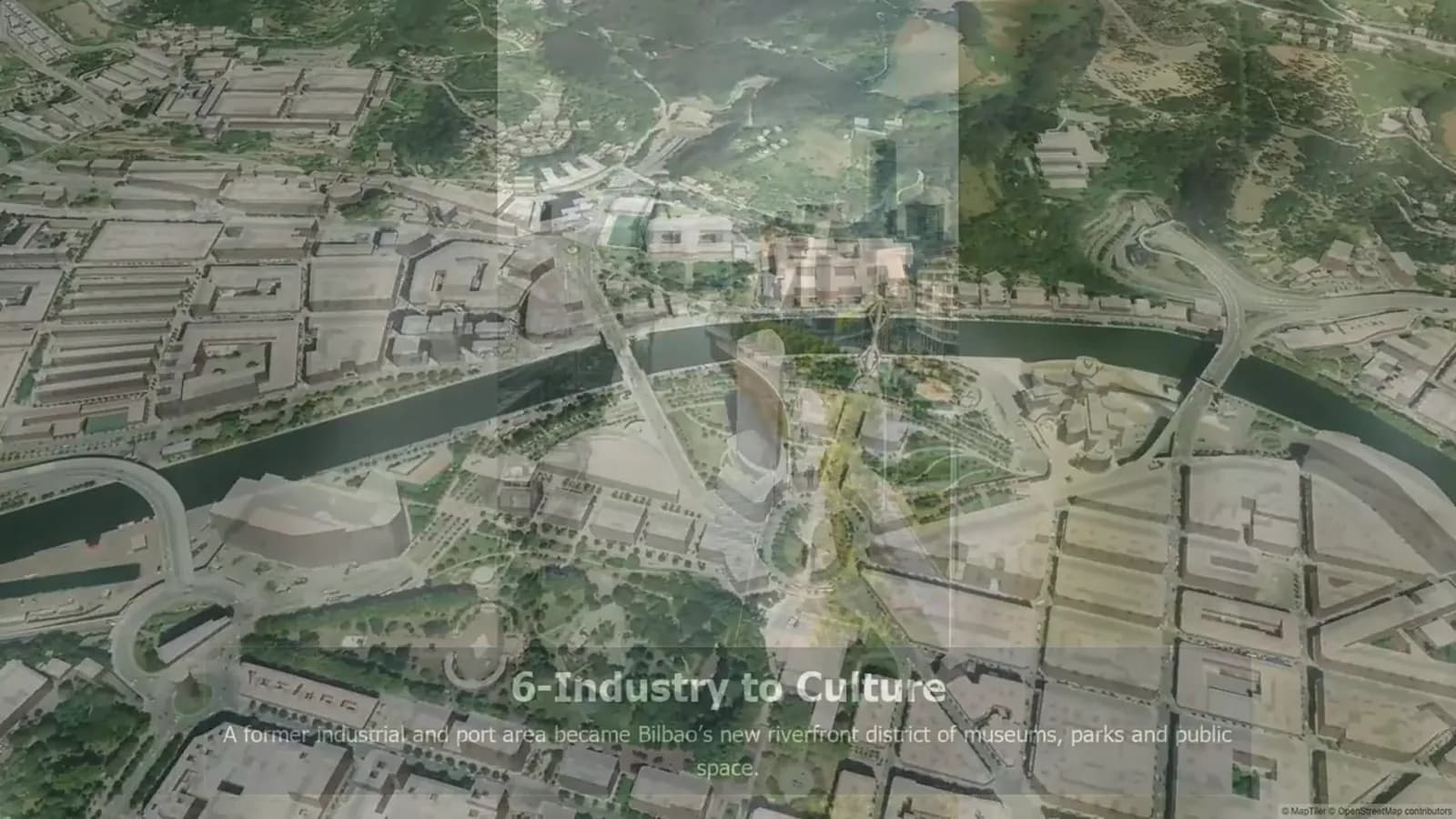
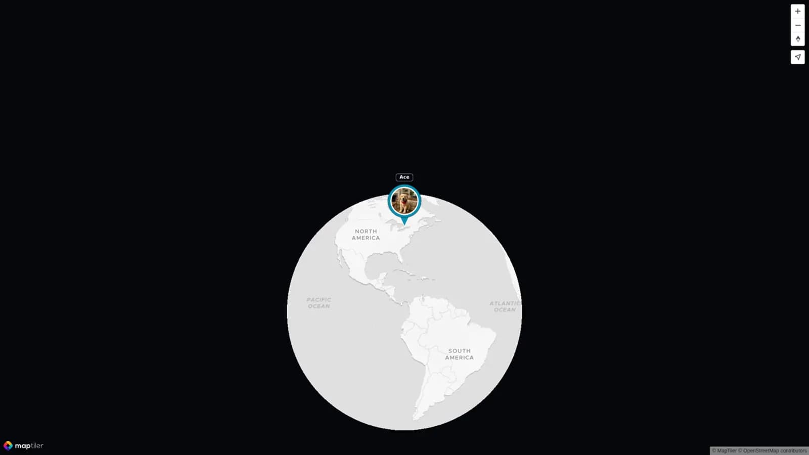
A map can turn separate pictures into one clear story of urban change. Begin with a full-city view. For a first project, add only three to seven stops. Give each stop a short title, an old date, a current date, and one sentence of context.
Choose one rule for the order. You might follow a walk, a shoreline, a rail line, a district edge, or time. Tell readers which rule you picked. The route should reveal a pattern. It should not just show a set of pins.
Your project may include memories from relatives, past residents, classmates, or travel friends. Ask each person for one approved photo or clip, the place, a date or best estimate, and one sentence. AlbumMap can connect approved photos, clips, written messages, and locations in a map-led memory story. Keep the research record outside the video. Save every source link.
Use a public source table before you publish
A source table keeps key facts from getting lost. Make one row for each image pair before you build a collage, post, or video. A search page is not a source record. Open the original item page. Save the creator, title, date, collection, rights note, and URL.
Public collections can be good starting points. A collection name does not replace an item-level check. The Library of Congress has Free to Use and Reuse sets. Wikimedia Commons file pages list rights and credit details. City archives and libraries may have historic images too. Their terms can differ from item to item.
For the new view, use your own photo or get the creator's approval. Save its date and place. Check for privacy issues before showing people, homes, vehicle plates, or sensitive sites. Leave out any pair with unclear rights, dates, or location until you can verify it.
Before-and-After Sourcing Table
Use this public table as a copy-ready starting record. Replace each bracketed field with the exact item page and details for your city. The table lets readers trace the evidence behind a comparison. It also makes a later update far easier.
| Place and map point | Historical image record | Current image record | Dates | Visible context | Rights and credit check |
|---|---|---|---|---|---|
| [Place, neighbourhood, city, coordinates] | Library of Congress Free to Use and Reuse: [item title and URL] | [Your approved photo URL or file record] | Older: [date/circa]; current: [date] | Match [two anchors]; note any viewpoint or season difference | Read the item record; save creator, rights statement, required credit, and screenshot of terms. |
| [Place, neighbourhood, city, coordinates] | Wikimedia Commons: [file page URL] | [Your approved photo URL or file record] | Older: [date/circa]; current: [date] | Name only what the pair visibly shows; link broader history separately | Verify the exact file licence, creator, attribution format, and non-copyright restrictions. |
| [Place, neighbourhood, city, coordinates] | [City archive or library item page] | [Your approved photo URL or file record] | Older: [date/range]; current: [date] | State whether the frame is exact or approximate | Check the archive's item-level use terms; request permission if the terms do not cover the planned use. |
Write labels people can understand quickly
Keep every label short. Put the place name first. Then give the old date and the current date. Use that same order at each stop. Do not use colour alone to show which image is older. A clear word label is better.
Place a source credit near the pair or in a clear source section. For a licensed image, include the creator, title when known, collection, licence, and link as required. For a public-domain image, give the source record even when credit is not required. For a current image, name the photographer if they want credit.
Give viewers time to look. A city scene can hold clues in paving, tracks, water, windows, signs, tree cover, and building height. A short pause and a plain side-by-side view often work better than a fast wipe.
Final thoughts
A good then-and-now cities project is careful, not flashy. Match the place honestly. Keep the dates and source record. Explain what changed without treating one picture as a full history. A map, a few strong pairs, and clear credits can help people see a city in a new way.
If your story holds places remembered by several people, gather the approved photos, videos, messages, and locations first. AlbumMap can shape those locations into a map-led video that travels between them.
Sources and verification
Last verified: 2026-08-09. Archive records, rights notes, and licences can change. Open the original item page again before you publish, reuse, or update an image.
For starting points and rights checks, use the Library of Congress Free to Use and Reuse collection, Creative Commons licence guidance, and Wikimedia Commons reuse guidance listed below. This is practical sourcing guidance, not legal advice.
Examples You Can Copy
Copy-ready image label
Potsdamer Platz, Berlin — older view: [exact date or circa date] | current view: [exact date] | viewpoint: [exact match or approximate viewpoint].
Copy-ready context caption
The two views share [anchor 1] and [anchor 2]. The visible change is [specific change]. This pair does not, by itself, explain every social or economic effect of the change.
Copy-ready contributor request
We are collecting approved memories of [city or neighbourhood]. Please send one photo or short clip, the location, the date or best estimate, the photographer or source, any permission or licence details, and one sentence about what changed or stayed the same.
Copy-ready source credit
Older image: [title], [creator], [date], [collection], [licence or public-domain statement], [item URL]. Current image: [creator], [date], [location]. [Note any crop, restoration, colourization, or approximate viewpoint. ]
Final Thoughts
A good comparison invites curiosity without pretending that one image pair explains a whole city. Keep the location, dates, source record, and context clear. Then let the reader look closely.
Helpful answers
Frequently asked questions
How do I compare city photos fairly?
Start with the same location and match stable anchors such as a bridge, road line, shoreline, monument, or building edge. Label the dates and disclose a viewpoint difference when the match is approximate.
Where can I find historical city images?
Start with public collections such as the Library of Congress and Wikimedia Commons, then open each original item page. A collection is only a starting point: check that specific item's creator, date, rights statement, and required credit.
Can I use an old image without permission?
Not automatically. Age alone does not settle copyright. Use an image only when its item-level rights information permits the planned use, you have permission, or you have appropriate professional advice.
What context should I add to a city before-and-after pair?
Name the location and dates, state what is visibly different, and explain any limit in the comparison. Support wider claims about redevelopment, displacement, policy, or public benefit with a reliable local source.
How can AlbumMap fit this kind of project?
AlbumMap is useful when a place story includes approved shared photos, short videos, written memories, and locations from several people. Use it to connect those contributions in a map-led story, while keeping a separate source and rights record for every image.